 Book tickets and visits in Rome
 Hotels, B&B and rooms near the monument
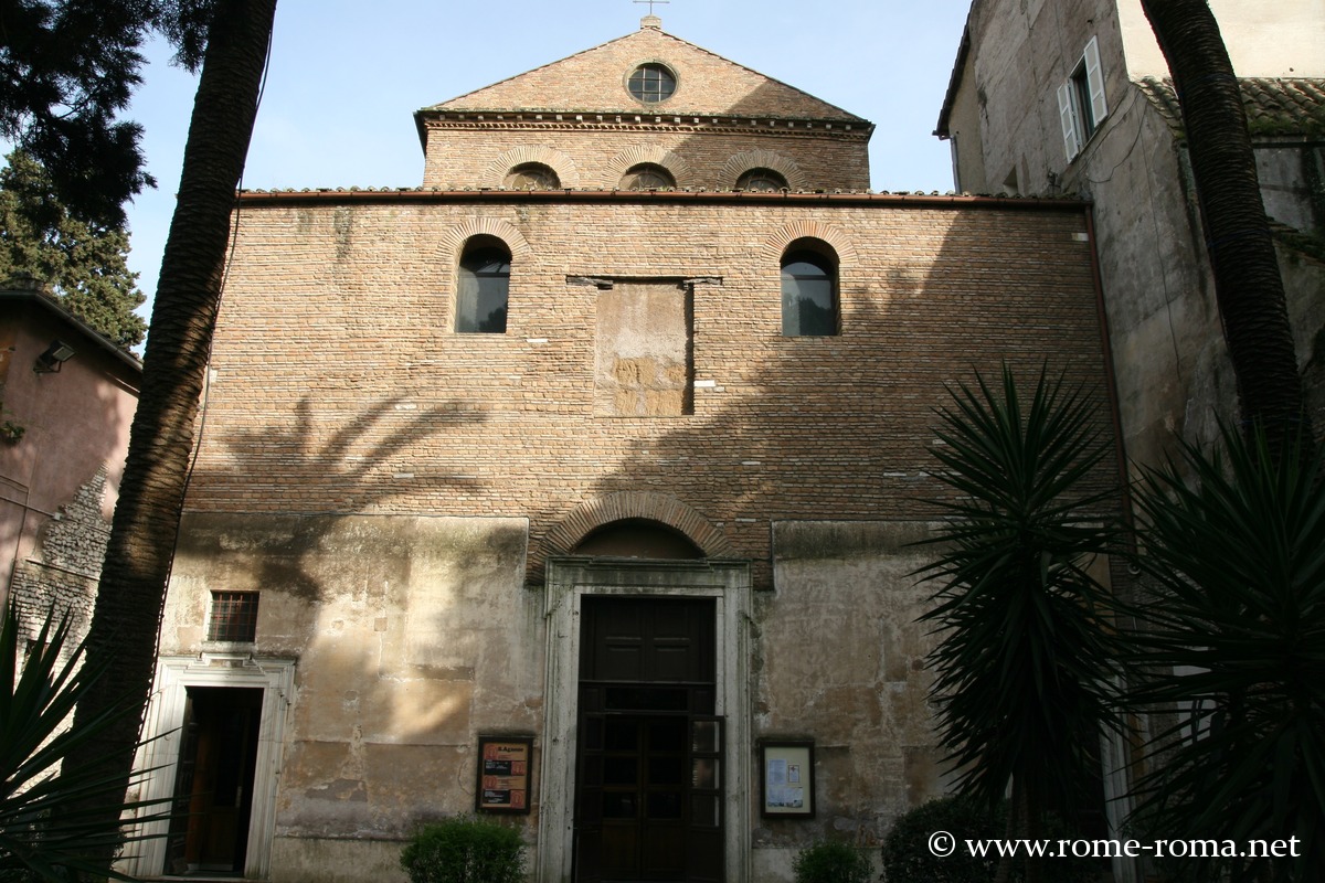
Basilica of Saint Agnes Outside the Walls
The districts that extend beyond the Aurelian Walls to the northeast are primarily residential, with urban development mainly dating from the 19th and early 20th centuries.
This area is crossed by two ancient Roman roads, the Via Salaria and the Via Nomentana, along which the Romans built numerous mausoleums and tombs before catacombs developed with the first Christians.
The northeastern boundary of these districts is marked by the Aniene River and its natural reserve.
Along the Via Salaria
Leaving Rome through the Porta Salaria, the Via Salaria passes not far from Villa Borghese and then continues alongside Villa Ada, the city’s second-largest public park, with its lake, woods, and some hills. This road is flanked to the west by the administrative districts of Pinciano and Parioli, and to the east by the more affluent districts of Salario and Trieste.
Among the catacombs along this route, the Catacombs of Priscilla are the main ones open to visitors.
Along the Via Nomentana
Further south, between the Salario and Trieste districts on one side and the Nomentano district on the other, the Via Nomentana leaves Rome through the Porta Pia. Near the walls, in the space between the two Roman roads, lies the prestigious Villa Albani-Torlonia, an 18th-century countryside villa with gardens and a remarkable art gallery. Nearby, Coppedè is a curious neighborhood built in the Art Nouveau style in the early 20th century, with astonishing architecture reminiscent of a fairy tale—or perhaps more accurately, a witches’ tale.
The Via Nomentana also passes in front of the small park of Villa Torlonia and its museums, and further along, the former remarkable sanctuary of the Basilica of Saint Agnes Outside the Walls and its catacombs. Beyond this, it crosses the Aniene River via the Ponte Nomentano, which preserves significant remains. Further on lies the Monte Sacro district, a pleasant residential area developed in the 1920s.
The ancient Via Salaria and Via Nomentana
Rome was supplied with salt via the Via Salaria, which is why it was named as such. This consular road running along the Tiber was probably already laid out by the Sabines before the Romans utilized it. It reached Rieti and crossed the Apennines before continuing to Ascoli Piceno and then the Adriatic coast. It was long lined with numerous Roman mausoleums and tombs.
The Via Nomentana connected the original Latin or Sabine town of Ficulea, then extended to Nomentum, before joining the Via Salaria after about 30 km from Porta Pia.
Main monuments and sites
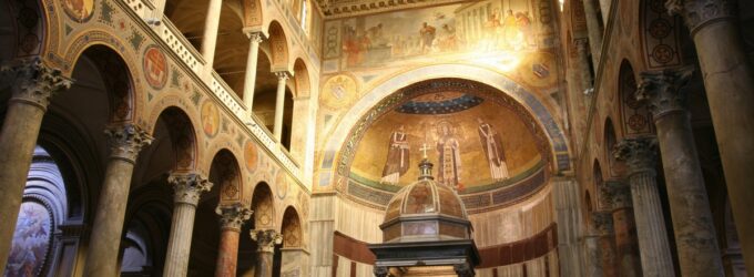
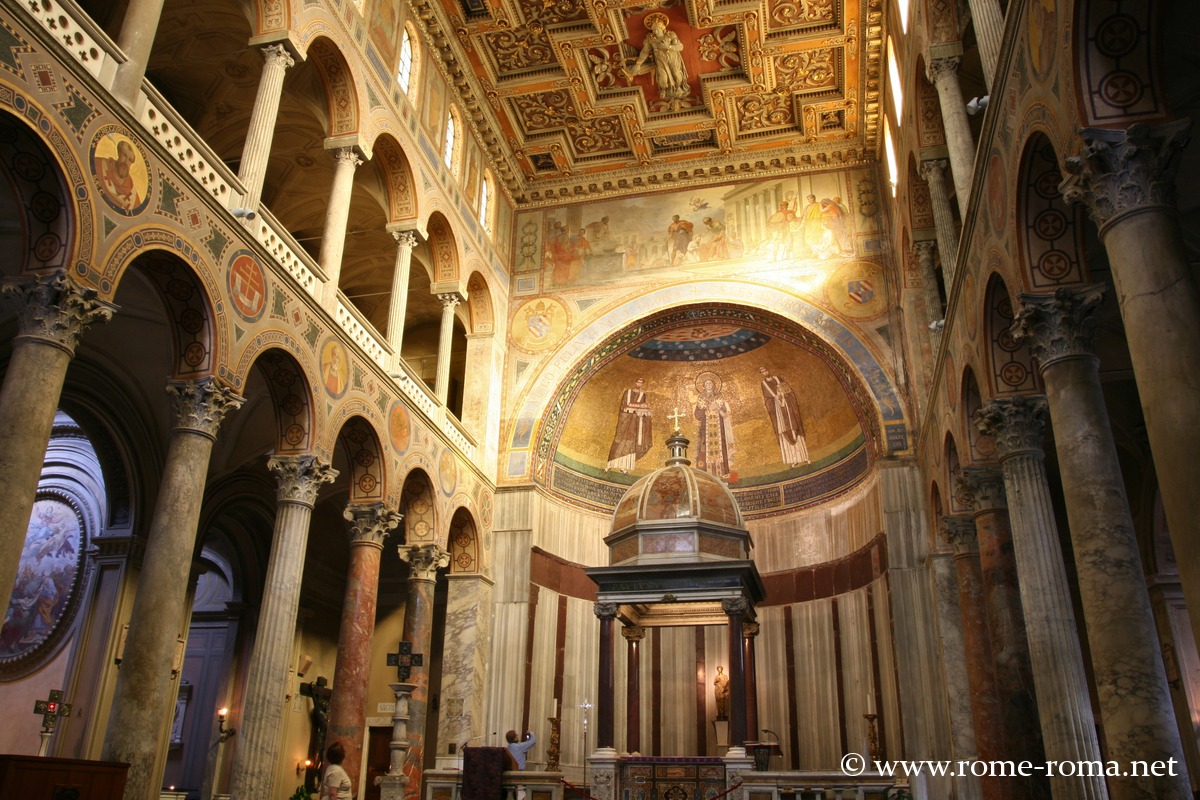
- Monumental complex of Saint Agnes Outside the Walls
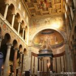 Discovery of the monumental complex of Saint Agnes outside the walls in ...
Museums
Additional sites in the district
Sites of the Nomentana and Salaria districts
If you see this after your page is loaded completely, leafletJS files are missing.


